


Mar 29, 2024
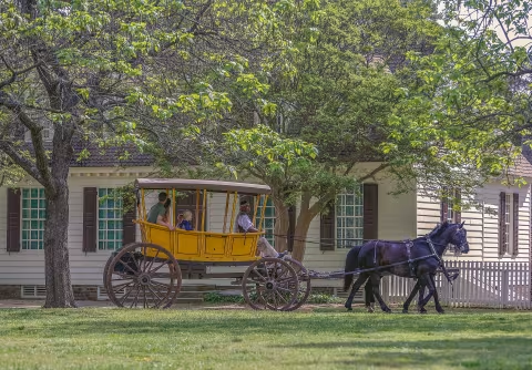
10 Essential Things to Do on Your First-time Visit to Williamsburg
From the fascinating beginnings of our nation’s history to thrills at Busch Gardens and chills on a…
Feb 09, 2024
Make a Break for it: Top 10 Spring Break Ideas in Williamsburg
Whether you’ve got littles, tweens, or teens, there are fun things to do for every size kid, budget, and…

Jan 26, 2024
Get Excited for Your School Trip to Williamsburg
So… you’re headed to Williamsburg for your class trip, eh? As a teenager, Williamsburg may not have…
Jan 25, 2024
Family-Friendly Spring Adventures in Williamsburg
Spring into action and adventure with the family in Williamsburg. From mini-golf competitions to a family taco…

Jan 25, 2024
Virginia’s Virgin Cocktail & Beer Scene Spreads Good Cheer
Gone are the days when sugary mocktails were tiny print on a menu for pregnant women or those trying a…